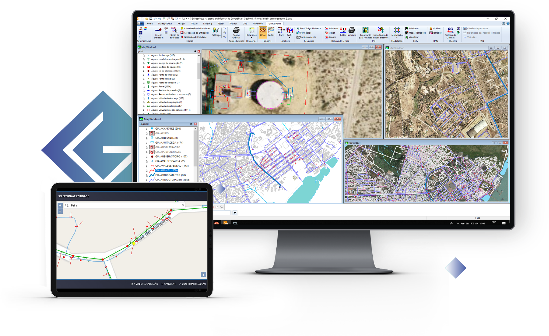
GIS solution aimed at infrastructure management
How does it work?
Data Collection and Integration
1
Master data are collected, stored and systematised on models specifically prepared for water and sanitation networks, waste, industry, telecommunications, energy, land-use planning, territorial information and maintenance.
Integration with CRM, ERP, Asset Management and Operation Management systems is carried out
Integrated Analysis
2
Cross-analysis is carried out based on data from the integration with other information systems the Water Utility has. The results are available on G/Interaqua and the integrated systems
Efficient Network Management
3
Operational and maintenance data are collected and combined, as well as economic, financial and specialised data, in order to produce context information for monitoring and decision-making